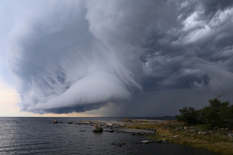
Tropical Storm Ana is the first Atlantic storm of 2015. According to CNN, Ana will hit Carolina shores by Sunday, May 10. The National Hurricane Center issued track maps starting May 3. The storm is located within 65 miles of Myrtle Beach, South Carolina.
The NHC reports that maximum winds are 60 miles per hour while minimum pressure is at 1,001 millibars. It is headed northwest at 3 miles per hour. Maximum gusts are at 70 miles per hour. Ana formed on May 3 as the NHC expected it to arrive in the Bahamas during the week. Rain showers and thunderstorms began rolling in Florida and the Bahamas by May 6. Ana was called Subtropical Storm Ana on May 8 as it reached the Gulf Stream waters. Ana was declared to be a tropical storm on May 9.
Accuweather reports that average rainfall from the storm will range from 2-4 inches. Thunderstorms may cause damage to power lines and trees. Low lands may be targeted areas for damage to people and property. People surfing, swimming or traveling in small boats are forewarned of danger.
According to Weather.com, rain will continue to spread from the Carolinas to Virginia by Monday. The Carolinas may experience heavy rainfall and flash floods. Winds may gust over 40 miles per hour beginning Saturday. The Carolinas may experience tornadoes, coastal flooding, and beach erosion by Monday.


