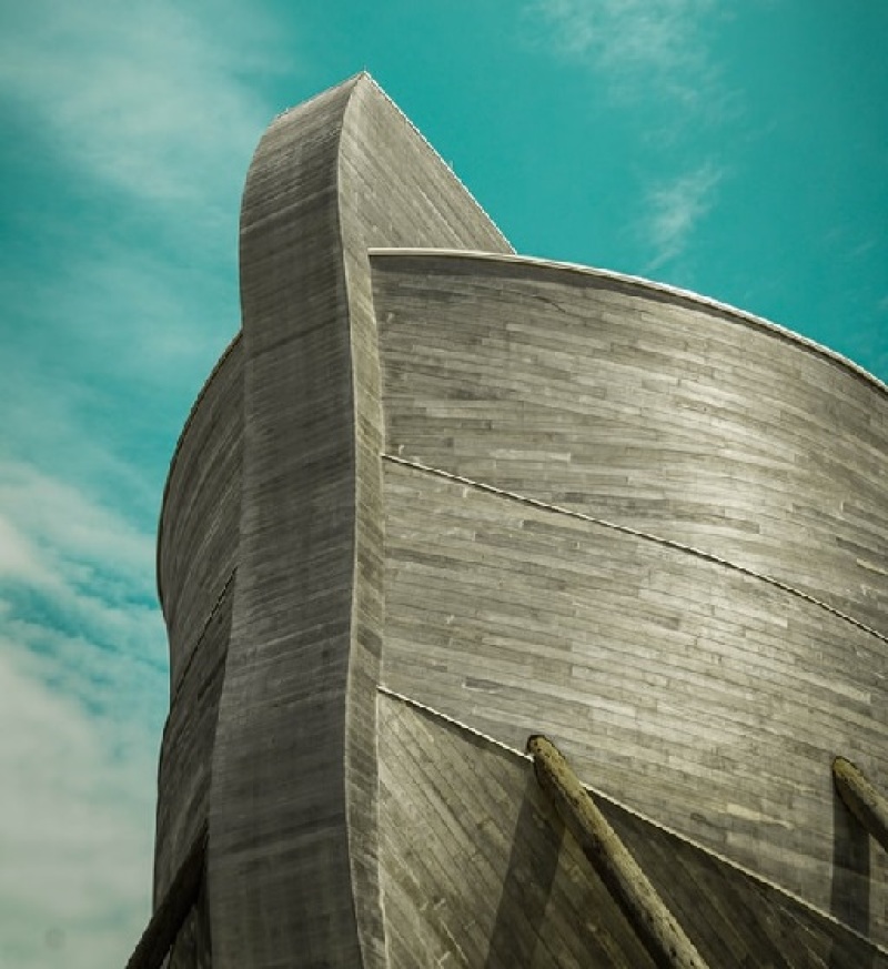
Archaeologists reportedly found a "boat-like formation" matching the Holy Bible's description of Noah's ark in the mountains of Turkey.
The Christian Headlines said the discovery was made by biblical archaeologists of the Noah's Ark Scans project using 3D scans. Meanwhile, The U.S. Sun said the team of archaeologists used a ground-penetrating radar to probe the location where the boat-like formation was found. Project Lead Andrew Jones disclosed that he believes the boat-like formation does match that of the Bible's Noah's ark.
"This is not what you would expect to see if this site is just a solid block of rock or an accumulation of random debris from a mudflow. But these results are what you would expect to see if this is a man-made boat matching the Biblical requirements of Noah's Ark," Jones disclosed.
According to the archeologists, the boat's length is exactly that of Noah's ark, which the Bible says is 300 cubits or roughly 150 meters. The discovery is regarded as ground-breaking since 3D scans have initially shown a man-made object beneath the mountain and investigators are hopeful it is the Ark of Noah. The Noah's Ark Scans project website revealed that the new GPR data present angular structures and parallel lines of "8 to 20 feet down."
"These parallel lines and right angles below the surface are something you would not expect to see in a natural, geologic formation. Interestingly, the boat formation has also been confirmed to be the exact length of the ark given in the Bible (Genesis 6:15)," the website said.
The location of the boat-like formation, specifically, is said to be under the rocky spot in the east of Turkey called the Durupinar. Some geologists, however, pointed out that the location of the discovery had unique rock formation and are not that of Noah's Ark.
Doubting Thomas Research Foundation President Ryan Mauro rebutted such claims since their research findings support the "historical authenticity" of Noah's Ark. The Doubting Thomas Research Foundation is a part of the Noah's Ark Scan project.
"This is not what you would expect to see if this site is just a solid block of rock or an accumulation of random debris from a mudflow," Mauro said in his interview with The U.S. Sun.
"It's a whole new ballgame now. Those judgments dismissing the site were made decades ago and based on limited data compared to what we have now. As I learned more, I became convinced that the project was worth my support and that it is vital that we determine the truth about the Durupinar site," he added.
Mount Tendurek, which is near the mountains of Ararat that is traditionally believed to be the location of where Noah's Ark resided after the flood have subsided, an event recorded in Genesis 8:4.
The Durupinar site was named after Turkish Army Captain Ilhan Durupinar who discovered the site in 1959. The site became interesting to researchers in the 1970s until mid-1990s because of American explorers that included Ron Wyatt. Decades later, in 2014 and 2019, geological surveys were conducted by private, independent companies on the site that showed "layers and interesting angular structures beneath the ground" similar to the ark's formation.
This year the Noah's Ark Scans project, which is a consortium of American and Turkish scientists, have gone back to the site to conduct "the most complete geophysical survey and scientific study of this site to date using as many modern scientific methods as possible." The project intends to preserve the site in the best way possible for the next generations.


